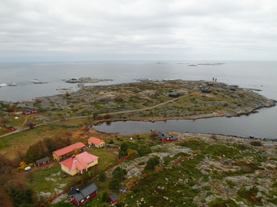
Utö

Coordinates: N59°47.034' E21°22.03' Altitude (m.a.s.l): 8 (atmospheric), 3 (flux) Ecosystem type: Baltic Sea Networks: ICOS Atmospheric, Sea flux Station web-page: https://en.ilmatieteenlaitos.fi/uto
Observations
CO₂ concentration (57 m since 04/2012) CH4 concentration (57 m since 04/2012) CO concentration (57 m since 04/2012) CO₂ flux (EC at 8 m since 09/2012) (N59°46.899', E21°21.456) pCO2 concentration (-5 m since 01/2015) Supporting environmental data: Meteorology, solar radiation, waves, sea ice cover, aerosol properties, boundary layer Doppler-lidar, air quality
Climatology
Climate data point: FMISID: 100908, WMO: 02981 Average temperature (°C): 6.5 Annual precipitation (mm): 549 Average snow depth at mid-March (cm): -
Environment
Environment: Marine Vegetation type: Open rocky island with some shrubs and grass Mean vegetation height (m): < 0.5 Max projected LAI: - Soil type: Rock and gravel Stand volume (m³ ha⁻¹): - Tree density (ha⁻¹): - Tree age (years): -
23.11.2022
