Welgegund (South Africa)
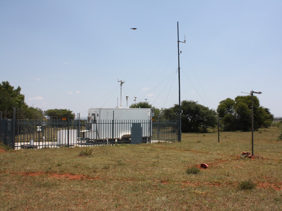
Welgegund (South Africa) EC mast. Photo: Tuomas Laurila
Coordinates: S26°34'10", E26°56'21" Altitude (m.a.s.l.): 480 Ecosystem type: Grazed grassland-savannah Station characterization: Regional background site Station web-page: https://en.ilmatieteenlaitos.fi/welgegund-reseach-station
Observations
CO₂ flux (EC at 8 m since 08/2010)
Supporting environmental data: Meteorology, trace gases, aerosol properties, solar radiation, albedo, soil moisture and temperatures
Climatology
Climate data point (Potchefstroom. - km): WMO: 68350 Average temperature (°C): - Annual precipitation (mm): 540
Environment
Vegetation type: Grazed grassland savannah Mean vegetation height (m): 5 (trees), xx (grass) Max projected LAI: 2.3 Soil type: Sandy till Stand volume (m³ ha⁻¹): - Tree density (ha⁻¹): - Tree age (years): -
16.5.2023
