Lettosuo
Coordinates: N60°38.510' E23°57.583' Altitude (m.a.s.l): 111 Ecosystem type: Scots pine forest with some spruce and birch; Vaccinium-myrtillus (MT) type Networks: ICOS associate ecosystem site
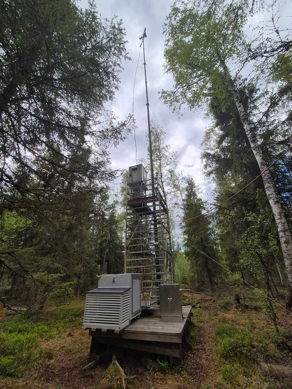
Observations
CO₂-flux (EC at 25.5 m since 09/2009, at 27.2 since 07/2019)
CO₂-flux (Automatic chamber 09/2010 - 07/2023)
CH₄-flux (Automatic chamber 02/2011-12/2012 and 06/2015 - 06/2023)
N₂O-flux (Automatic chamber 06/2015 - 10/2019)
Supporting environmental data: Air temperature + humidity, soil temperature, soil heat flux, soil moisture, PPFD, global radiation, albedo, net radiation, DIC and DOC in the discharge water
Climatology
Climate data point (Somero 8km): FMISID: 101128, WMO: 02949 Average temperature (°C): 5.3 Annual precipitation (mm): 640 Average snow depth at mid-March (cm): 28 Median period of snow cover: Dec 13 – Apr 8
Environment
Vegetation type: Pinus sylvestris, some undergrown Picea abies and Betula; forest floor: e.g. mosses and small shrubs After harvest: Picea abies and Betula Mean vegetation height (m): 20 (before harvest), 13 (after harvest) Max projected LAI (m² m⁻²): 2.0 (after harvest, satellite based measurement) Soil type: Peat; originally herb-rich tall sedge birch-pine fen Stand volume (m³ ha⁻¹): 295 (before harvest), 77 (after harvest) Tree density (ha⁻¹): 2470 (before harvest), 1170 (after harvest) Tree age (years): Varying, site has been drained in 1969
7.12.2023
