Greenhouse Gases, Coordination
In Greenhouse Gases, Coordination group we study the distribution of atmospheric greenhouse gases through space-based and ground-based remote sensing. Important activities of the group include Arctic-boreal satellite Cal/Val activities, development of various greenhouse gas emission estimation methods utilizing satellite-, drone and ground-based measurements and studying of the atmospheric radiative transfer. We use machine learning to obtain quick carbon dioxide and methane flux estimates and to study connections of atmospheric variables. We develop anomaly detection methods and do multivariate time series analysis. The group is based in Helsinki and Sodankylä.
Central activities of the group:
Analysis of satellite data from greenhouse gases and solar induced fluorescence space missions: ESA Sentinel 5P TROPOMI, NASA OCO-2, OCO-3, JAXA GOSAT.
Develop and utilise extensive ground-based greenhouse gas and vegetation photosynthesis measurements at Sodankylä, in Finnish Lapland.
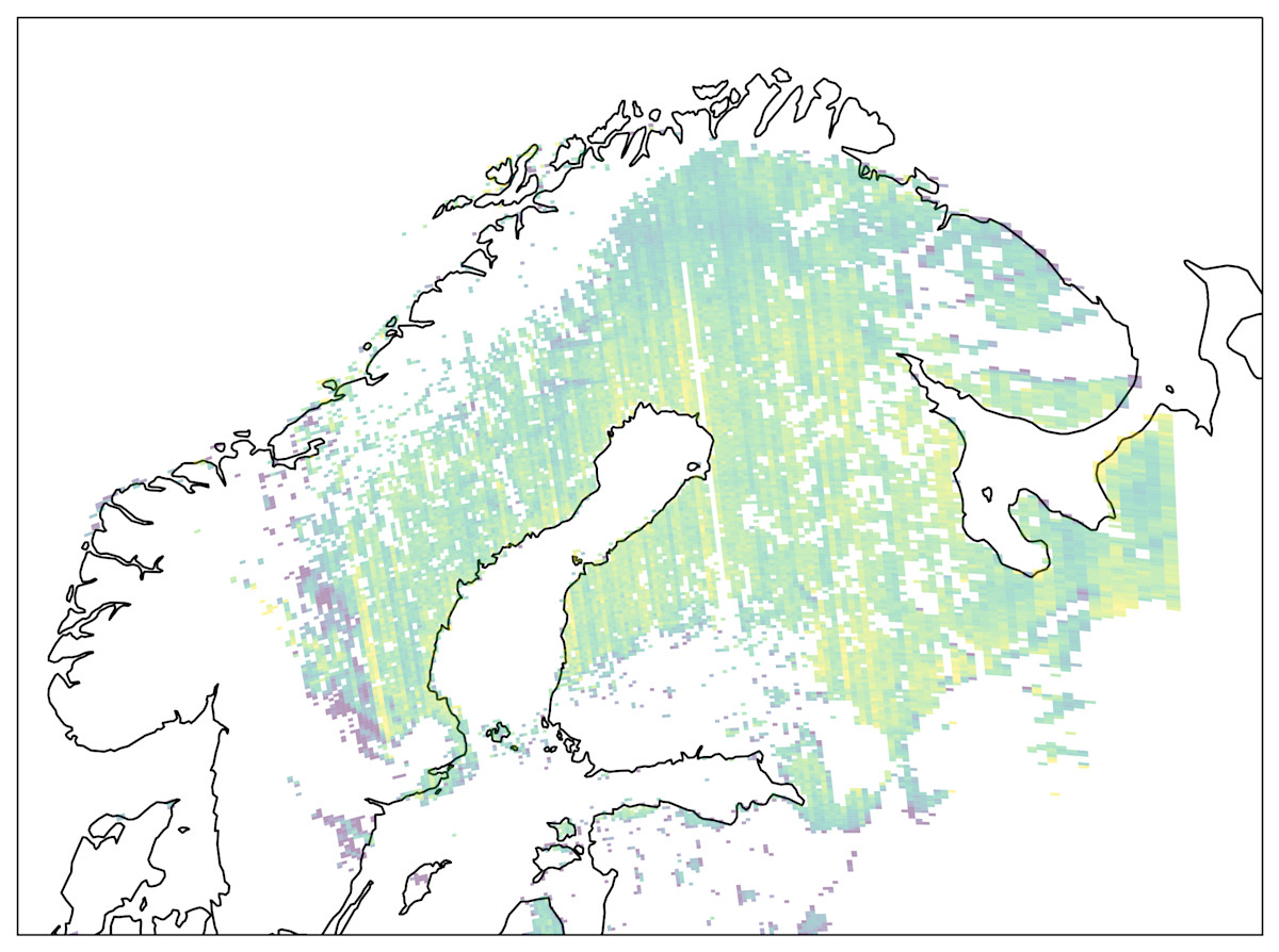
Validation and calibration source for increasing volumes of satellite observations at high latitudes (GOSAT, OCO-2, TROPOMI).
Develop methods for satellite-data driven estimations of greenhouse gas sources and sinks.
Investigate and develop mathematical methods for time series analysis, data assimilation, data fusion, and satellite data interpretation, including uncertainty quantification.
The group participates in two Research Council of Finland flagships: Atmosphere and Climate Competence Center ACCC and Flagship of Advanced Mathematics for Sensing, Imaging and Modelling FAME.
Scientific software
Our group has developed a number of scientific software for analyzing satellite observations of the atmosphere. Here is a list of publicly available codes:
ARSCA: Atmospheric Radiation Simulation Computation Application
ARSCA is a Python interface for creating input files for radiative transfer simulators and running them. It contains two polarized radiative transfer models, single-scattering Raysca and backward Monte Carlo model Siro.
Code is available under MIT license on Github: https://github.com/amikko/arsca
TURSCA: Transmittance calcUlator with Radiative Scattering Coupling Approach
TURSCA is a monochromatic scalar 3D radiative transfer model, used for rapid simulation of imaging instrument observations in multiple scattering atmospheres.
Code is available under MIT license on Github: https://github.com/amikko/tursca
