Puolikkoniva
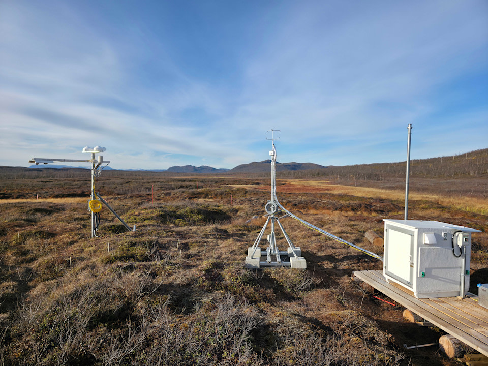
Coordinates: N68° 51'44,420", E21°6'21,743" Altitude (m.a.s.l.): 488 m, (N2000): 458 m Ecosystem type: Palsa mire (Sub-arctic discontinuous permafrost peatland complex) Project: SPACEFEN
Observations
CO₂ flux (EC at 2.85 m since 09/2026)
CH₄ flux (EC at 2.85 m since 09/2026)
Supporting environmental data: Air temperature, air humidity, soil temperature, soil moisture, water level height, longwave/shortwave radiation (up/down), snow depth
Climatology
Climate data point (1991-2010): FMISID: 102016, WMO: 02801 Average temperature (°C): 0.2 Annual precipitation (mm): 420.7 Average snow depth at mid-March (cm): 92.7 Median period of snow cover: Oct 14 – May 27
Environment
Vegetation type: Dwarf shrub-lichen-moss vegetation with sedge-Sphagnum hollows Mean vegetation height (m): 0.05 Max projected LAI: - Soil type: Peat, permafrost
21.10.2026