Ground-based cloud remote sensing
The Aerosols and Clouds group has extensive expertise in ground-based cloud and boundary layer dynamics remote sensing, using measurements from Doppler cloud radars, Doppler lidars, ceilometers, and microwave radiometers to study cloud and turbulent processes and derive geophysical products. The derived products can be used, for example, to evaluate numerical weather prediction (NWP) models and validate satellite measurements.
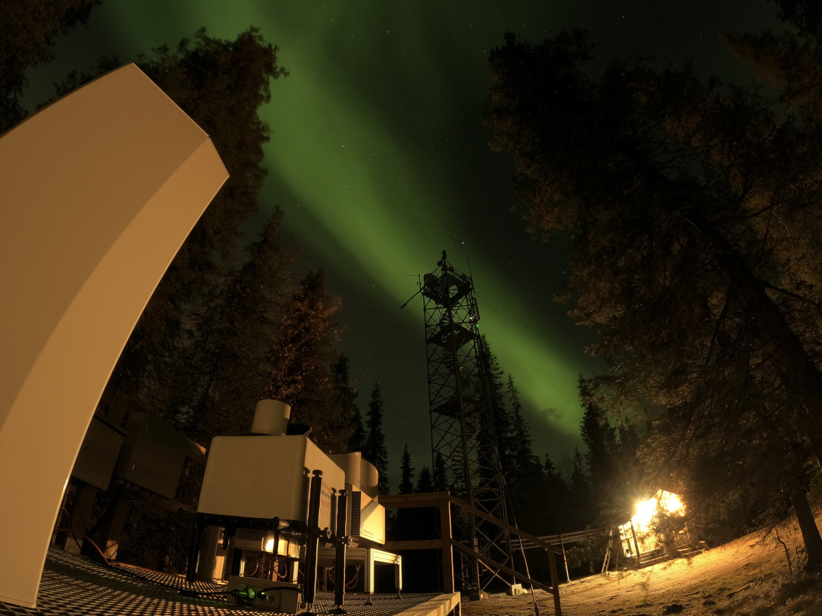
The group develops and maintains the Cloudnet data portal within the Aerosols, Clouds and Trace gases Research Infrastructure (ACTRIS). The data portal hosts long-term data sets of cloud and boundary layer remote sensing measurements from European meteorological institutes. The group is also responsible for cloud and boundary layer remote sensing measurements at the Pallas Atmosphere-Ecosystem Supersite.
Publications
Tukiainen, S., Siipola, T., Leskinen, N., and O'Connor, E.: Remote sensing measurements during PaCE 2022 campaign, Earth Syst. Sci. Data, 17, 3797–3806, https://doi.org/10.5194/essd-17-3797-2025, 2025.
