Remote Sensing of Land Surfaces and Cryosphere
In Remote Sensing of Land Surfaces and Cryosphere group, we investigate the use of Earth Observation (EO) data in understanding the water and carbon cycles in the Arctic, northern tundra and boreal forest regions.
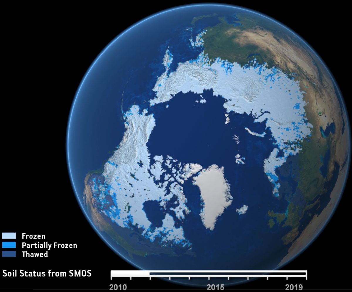
We develop new remote sensing sensor technology and satellite data interpretation methods for observing different processes of the cryosphere.
The group participates in several research projects funded by the European Space Agency (ESA) focusing on the Arctic-Boreal Zone.
One topical example is ESA MethEO-project:
The project investigates Northern Hemisphere methane (CH4) sources and their connection to the soil freezing and thawing at high latitudes by applying both data from Earth Observing (EO) satellites and global atmospheric methane inversion model estimates.
The Remote Sensing of Land Surfaces and Cryosphere group operates both at Helsinki and Sodankylä in close co-operation with Meteorological Research and Climate System Research, as well as the FMI Sodankylä National Satellite Data Centre (NSDC).
