Mareographs measure water level
The Finnish Meteorological Institute measures sea level with fourteen observation stations, so called mareographs (also known as tide gauges or water gauges), along the Finnish coast. The mareographs are located with even distances in between them, so the changes in sea level can be calculated quite accurately to the whole Finnish coastline.
The measurements started in 1887 in Hanko and in 1904 in Helsinki. In the 1920s ten stations more were build. Rauma’s mareograph was founded in 1933 and the latest mareograph was founded in Emäsalo in Porvoo in 2014. In the beginning, the registration instruments drew onto a roll of paper, and the data was read once a month from the paper. Today, digital automatically recording instruments collect and send the data of the mareographs in real time. In addition to the sea level, mareograph stations also measure water temperature.
Function of a mareograph
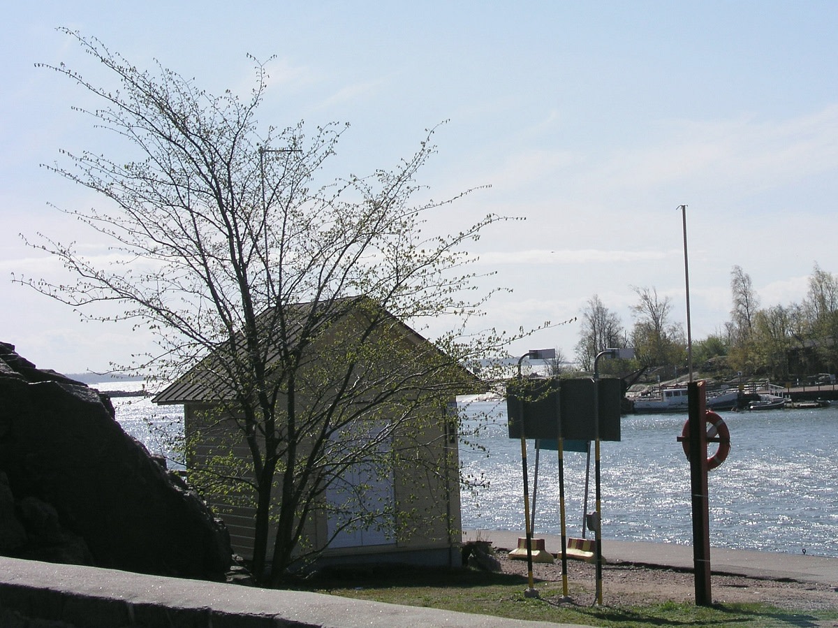
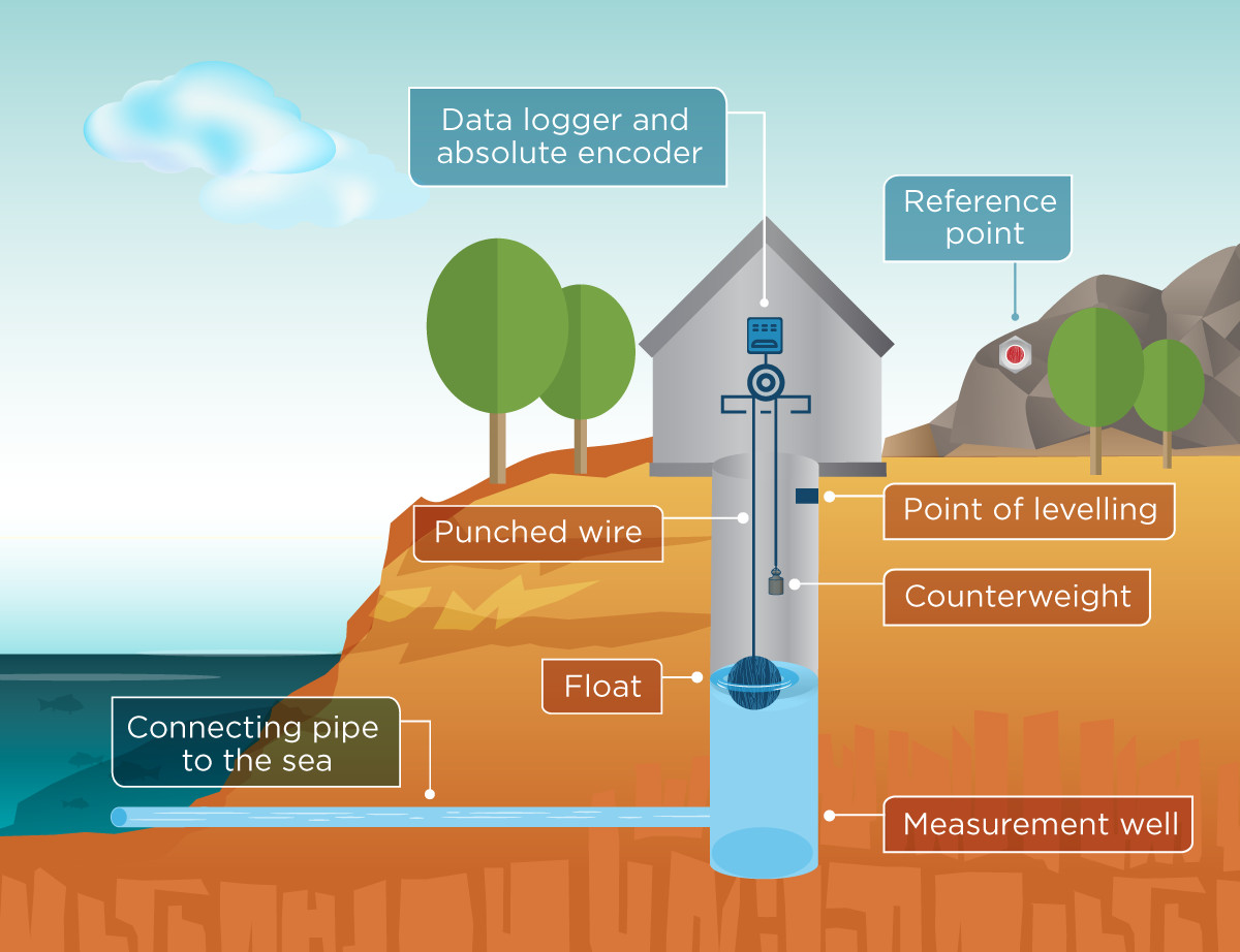
Sea level is measured in a deep well in the shore, which is connected to the sea with a narrow pipe. The pipe’s purpose is to let the water level in the well rise as high as sea level outside but this way the waves don´t interrupt the result. A float in the well rises and descends with the sea level changes. The float’s movement is transmitted by a punched wire to a data logger and an absolute encoder. There is a light counterweight in the other end of the wire keeping the wire strait, but it´s not that heavy that it effects the float´s height.
How the water level height is defined
Sea level height is measured relative to each mareograph’s own reference level. This reference level is a fixed, computational level relative to geodetic height systems, around 2 meters under the mean sea level of the year 1921. The possible movement of the mareograph relative to its reference level is examined every year with precise levelling to a fixed reference point near the mareograph. Every three years the stability of the mareograph and its reference point is ensured by levelling them to other local bedrock reference points. In addition, the mareographs have a control measurement every week.
The sea level height is reported usually relative to the mean sea level or to the N2000 height system. The reading measured in the mareographs own reference level is converted to these height systems automatically before the observations are public.
Quality and accuracy
The data quality is controlled when they are taken to the database and various services. Sea level observations have been recorded until 1970 with a resolution of 1 cm and since 1971 with a resolution of 1 mm.
If a mareograph is temporarily out of use or the measurement data is faulty, the sea level can be calculated from measurements of the neighbouring mareographs, if they are available. The accuracy of the calculated values is usually less than 10 cm. The accuracy of the real observations is less than 1 cm.
Sea level data is important
Sea level data is used in construction industry on the coast and sea like when planning harbors, fairways and buildings on the coast. Real time observations are needed in navigation and in flooding, for example. Observations are also used when developing forecast models. The forecasts help for example to prepare for coastal flooding and to decide how much cargo is loaded to a ship. With the long time series, the effects of climate change as well as the post-glacial uplift in the Baltic Sea can be studied.
7.4.2025
