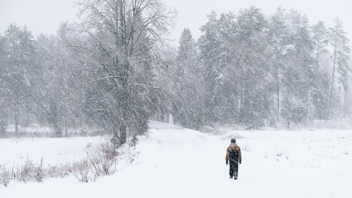
Record-high precipitation in Finland in February

According to Finnish Meteorological Institute's statistics, precipitation in February was exceptionally heavy, especially in southern and eastern parts of the country. New records were set in some locations. In other areas, total precipitation was also higher than usual, or exceptionally high. Only in northernmost parts of Finnish Lapland was precipitation near the long-term average.
According to preliminary information the greatest amount of precipitation in February, 134.8 millimetres, was recorded at the Koivuniemi observation station in Virolahti. It was a new Finnish record for precipitation in February. The previous record, 131.6 millimetres was from 2016, at the Anjala observation station in Kouvola. The previous record was also exceeded in Nuuksio in Espoo, where total precipitation was 132.8 millimetres.
The highest amount of precipitation for February in a single day, 35,6 millimetres, was measured at the Sjundby observation station in Siuntio, on the 21st of the month.
The lowest amount of precipitation for February, 15.7 millimetres, was recorded at the Näkkälä observation station in Enontekiö.
At the end of the month, the depth of snow in western parts of the country was between 20 and 60 millimetres, and 50 to 110 millimetres in eastern and northern areas. Especially in eastern parts of the country the amount of snow was unusually high or even exceptionally high.
February temperatures were mild
In much of the country the average temperature for February was 1–3 degrees above average. The average temperature for the month varied between +1 degree in the southwest archipelago to about -13 degrees in the northwest “arm” of Finnish Lapland.
The high temperature for February, +7.1 degrees was measured on the 28th of the month at the Pyhäjärvi Ojakylä observation station. The lowest temperature for the month, -34.9 degrees, was recorded at Enontekiö Airport on February 1.
The number of hours of direct sunlight was generally lower than usual. There were five stormy days in February.
Unusually heavy winter precipitation in the southeast
The average temperature for the winter, or December-February, was normal. The deviation from the long-term average was usually 0–0.5 degrees below the average. The winter began colder than usual in December, but January and February temperatures, which were milder than usual, balanced out the average. The average temperature for the winter varied between about zero degrees in the southwest archipelago to about -12 degrees in central and northern parts of Finish Lapland.
Precipitation for December-February was higher than usual in southern and eastern parts of the country, and unusually high in the southeast. In southwestern parts of Finnish Lapland, and locally in western parts of North Ostrobothnia, winter precipitation was below normal.
Further information
New climate normal period 1991-2020 Weather statistics from Climate Service, tel. 0600 1 0601 (EUR 4,01/min + local charge)
