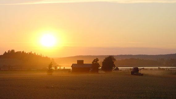
August ended with hot weather – the summer will be recorded as dry in statistics

According to the statistics of the Finnish Meteorological Institute, the average temperature in August was close to the long-term average (1981–2010). The average temperature in the western parts of the country was slightly above the average, while in the east it was slightly below the average.
However, the average does not represent the whole truth, as the month started in cool weather and many cold nights with frost were recorded even in the southern parts of the country. The lowest temperature of the month, -3.5 degrees Celsius, was recorded in Vuotso, Sodankylä, on 10 August.
Towards the end of the month, the weather clearly warmed up, and temperatures exceeded 25 degrees even in Lapland. The warmest temperature (25.3 degrees) measured in Rovaniemi on 29 August is the latest hot day recorded in Lapland based on digitized observation data. The highest temperature in the whole country in August, 28.1 degrees, was recorded at the Kokkola-Pietarsaari Airport. The highest number of hot days, four days in total, was recorded in Hattula.
There was a great deal of regional variation in precipitation levels, which is very typical. However, generally August saw lower precipitation levels than usual in most parts of the country. The driest areas were the eastern parts of the country and Eastern Lapland, where the precipitation levels were less than half of the typical amount of rainfall in August.
Despite the drought, local heavy rains also occurred in August. For example, in Pori on 8 August it rained up to 34.7 millimetres in an hour, which caused some significant damage. In Kaisaniemi, Helsinki, it rained 62,5 millimetres within the period of 24 hours on 23 August. The heavy rainfall on that day also caused plenty of material damage.
The highest level of precipitation in August, 115.3 mm, was measured in Kemiönsaari, Kemiö. It rained the least in Värriötunturi, Salla, 18.3 mm.
Only about 16,000 cloud-to-ground lightning strikes were observed in August. The long-term average is almost 30,000.
Summer was dry especially in Central Finland, Savo and North Karelia
Summer (Jun–Aug) in the western parts of the country was approximately one degree warmer than usual. However, in the areas near the eastern border and in Northern Lapland the temperature was almost a degree below average.
Most parts of the country saw a higher number of hot days than usual. Including May, the highest number of hot days was recorded in Hattula: 26 in total. On land, the only place where the temperature did not exceed 25 degrees this summer was Kilpisjärvi.
Compared to the statistics, the summer was drier than usual in nearly all parts of the country, since the precipitation levels were generally less than half of the normal amount. In some parts of Central Finland, Savo and North Karelia, in particular, the amount of rainfall was exceptionally low – that is, a similar amount occurs less frequently than once every 30 years. The previous time some of these areas have seen a drier summer was in 1955.
In the summer, the highest amount of precipitation, nearly 200 millimetres, was recorded in Kuusamo. The lowest amount of precipitation, 70 mm, was reported on the west coast in Kaskinen.
By the end of August, approximately 80,000 cloud-to-ground lightning strikes were observed in Finland in the summer, which is clearly below the long-term average of about 130,000 lightning strikes.
Further information:
Weather statistics from the climate service tel. +358 600 1 0601 (€ 4,01/min + local network charge)Weather forecasts from the meteorologist on duty 24 h/day tel. +358 600 1 0600 (€ 3,85 /min + local network charge)
The weather is rarely exceptional. Meteorologists use the word "exceptional" only when the average statistical likelihood of a weather phenomenon occurring is three times in a century or less. A weather phenomenon is called "rare" when it occurs less than once in ten years on average.
