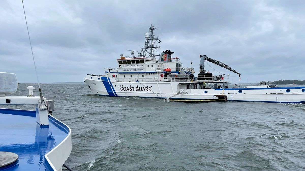
Up-to-date marine weather information and observations to improve maritime safety
 Picture: Antti Kangas
The various maintenance and repair task included in waterway maintenance must be performed in a safe manner. For example, the service of safety equipment often requires a boat trip to the destination, climbing to lighting equipment and working at heights. External conditions and weather vary even more easily on waters than on land. Before setting off for maintenance and repair work, the Finnish Transport Infrastructure Agency’s experts view wind observations, wind forecasts, gust probability, wave height, wave direction, freezing forecasts and water level. Employees only set off to carry out the work if conditions are assessed to be safe enough.
“The Finnish Meteorological Institute produces important and up-to-date data. These data are used by the institute’s own experts as well as by waterway maintenance and hydrographic surveying contractors and consultants. The open and free WFS interface offers observations from seven wave buoys, hourly water level observations, and wind and weather observations. Without comprehensive observations and forecasts, unnecessary trips would be made at times when the wind or waves would prevent landing or working at the site. For this reason, up-to-date information improves safety and promotes the efficient use of resources,” says Elisa Mikkolainen, Director of the Waterways Department at the Finnish Transport Infrastructure Agency.
Open data also benefits all people out at sea, from private boaters to maritime authorities and its stakeholders, such as pilots, tugboats, and icebreakers.
“The Baltic Sea weather and sea services, observations and research are a key part of the operations of the Finnish Meteorological Institute. It is great to see that the Finnish Transport Infrastructure Agency, professional seafarers, and boaters are highly aware of the conditions and understand the importance of weather and sea information. Understanding and anticipation of maritime conditions and their smooth operation even in challenging situations is also a competitive advantage for Finland,” says Juhana Hyrkkänen, Division Director at the Finnish Meteorological Institute.
It is important to publish maritime weather observations and forecasts in Finnish, Swedish, and English. In the current situation, risks related to shipping have increased in the Baltic Sea due to GNSS disruptions, the unreliability of the AIS and the movements of the shadow fleet.
“Especially in this situation, it is imperative that ships have a clear picture of the prevailing weather conditions. In addition, we have linked the Finnish Meteorological Institute’s real-time weather data to the Digital Fairway Card service developed and maintained by the Finnish Transport Infrastructure Agency. The service communicates information on the risks posed by weather conditions to those travelling on merchant shipping routes,” says Mikkolainen.
Finnish Meteorological Institute and Finnish Transport Infrastructure Agency engage in cooperation with Swedish authorities
The Finnish Meteorological Institute and the Finnish Transport Infrastructure Agency work in close operational cooperation in winter navigation. The Finnish Transport Infrastructure Agency coordinates icebreaking services together with the Swedish Maritime Administration (Sjöfartsverket). The Finnish Meteorological Institute coordinates weather and ice services with the Swedish Meteorological and Hydrological Institute (SMHI). Together, they produce a large amount of data for the use of icebreaking. This way, we have access to the daily ice charts for both the Baltic Sea area and inland waters, developing ice forecasts for Finland’s sea areas, and the status of ice thickness.
“Cooperation between the Finnish Meteorological Institute and SMHI in Sweden has reached a completely new level over the past decade. For example, the organisations take turns drawing up ice charts for the Baltic Sea. The benefits of this cooperation include cost savings, information exchange between different countries and production reliability,” Hyrkkänen explains.
The Finnish Transport Infrastructure Agency retrieves the data from the Finnish Meteorological Institute’s server and updates it to the operational IBNet. The Finnish and Swedish authorities use the network for the coordination of icebreaking, especially in the Bothnian Sea and the Bay of Bothnia, and for obtaining weather and ice information. The information obtained is used by icebreaking service providers, maritime vessel traffic services, the border guard and pilotage.
“In terms of maritime safety, up-to-date weather and ice information contributes to the formation of a maritime situational picture and promotes maritime safety,” Mikkolainen explains.
Finnish Transport Infrastructure Agency receives up-to-date weather and ice information from the Finnish Meteorological Institute
The Finnish Transport Infrastructure Agency is responsible for setting icebreaking assistance restrictions in Finnish ports. Assistance restrictions are conditions or restrictions on the basis of which vessels are provided icebreaking assistance. The timely setting of assistance restrictions and their calculation requires a good understanding of the development of the ice situation.
Anticipated information on future assistance restrictions will serve business life, charterers, and shipping companies in the planning of maritime transport. As the ice situation changes rapidly due to the prevailing winds and the movement of the ice field, the assistance service may have to be interrupted for safety-related reasons.
“The briefing service by the on-duty meteorologist and ice officer is exceptionally valuable in particular in these situations. During the icebreaking season, it is fantastic that our winter navigation experts can contact the Finnish Meteorological Institute to get the latest estimates. Information-based decision-making ensures smooth traffic flow and minimises the likelihood of risk situations arising,” says Mikkolainen.
Abbreviations:
WFS = Web Feature Service (this transmits data on geographic features)
GNSS = Global Navigation Satellite System
AIS = Automatic Identification System (for identifying and locating vessels)
IBNet = Ice Breaking Network
Additional information:
The Finnish Meteorological Institute's open data
Digital Fairway Card service (Finnish Transport Infrastructure Agency)
Marine weather service (Finnish Meteorological Institute)
Contact information:
Finnish Meteorological Institute: Juhana Hyrkkänen, Division Director, tel. +358 29 539 3495
Finnish Transport Infrastructure Agency: Elisa Mikkolainen, Director, Waterways Department, tel. +358 29 534 3493
Email addresses at the Finnish Meteorological Institute follow the format firstname.lastname@fmi.fi, and at the Finnish Transport Infrastructure Agency the format is firstname.lastname@vayla.fi.