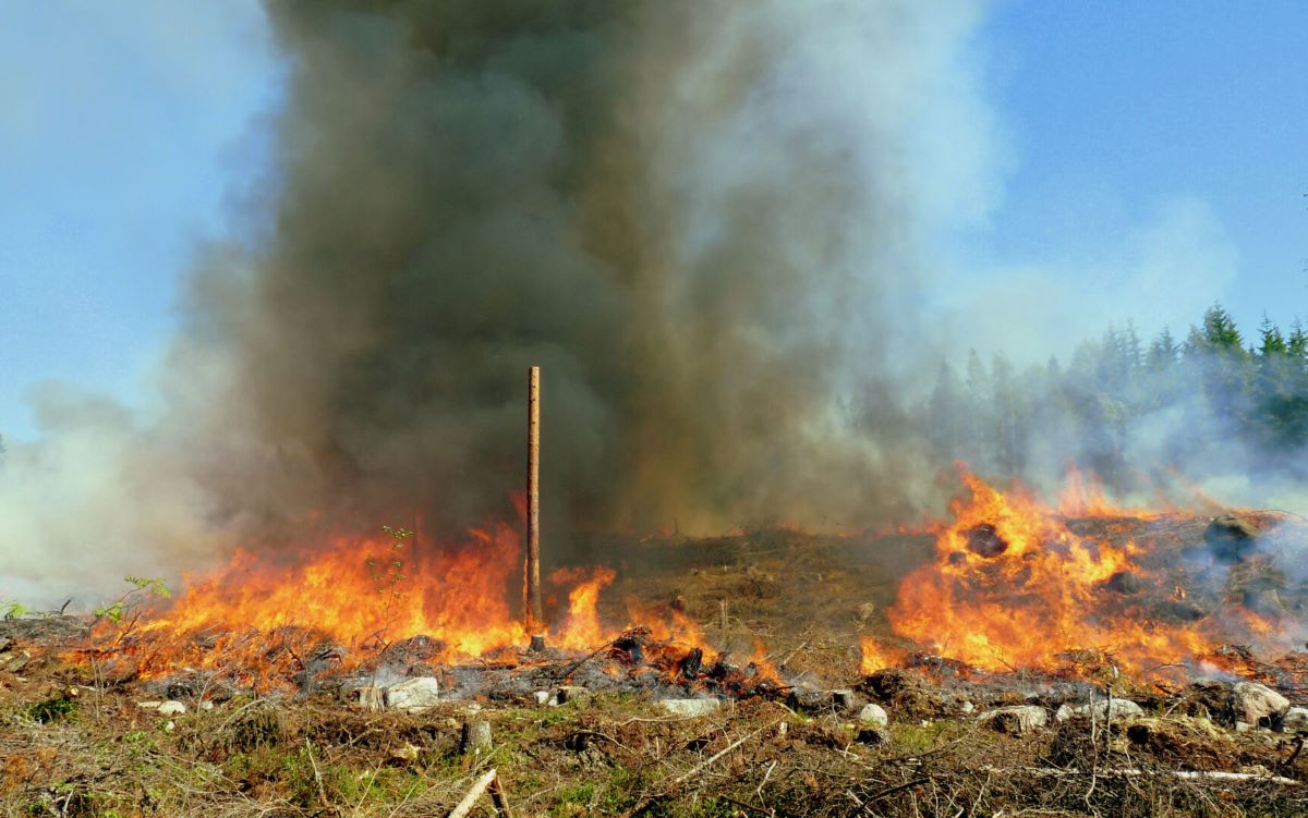
The wildfire index
The wildfire warning system is designed to inform the general public and the fire authorities about wildfire risk caused by dry terrain. The Finnish Meteorological Institute meteorologist on duty has the final decision on the validity of the wildfire warning.
In addition to weather observations (past weather) and forecasts (upcoming weather), the meteorologist assesses terrain's fire sensitivity using an index estimating terrain drought. The index is based on the assessment of dryness of the terrain using weather observations and a specifically designed calculation model.
The calculation model is used to evaluate the half-open treeless terrain (e.g. clear cutting) humus surface moisture. Open areas will dry faster than stand-intensive and thus more likely represent a flammable type of terrain. The model has been developed at the Finnish Meteorological Institute for Finnish conditions.
Model calculates humus surface moisture for layers 3-6 cm thick layer. The calculation is done first with a thin layer and then gradually moving to a thicker layer as the growing season progresses.
How we calculate wildfire index
For the calculation of the wildfire index, the so-called grid-based method applies, whereby estimating the value of weather quantities in a regular set of points, i.e. grid, where each point describes an area of a certain magnitude around it i.e. lattice screen. The grid in use is a uniform coordinate projection grid covering the entire country in a 10 km x 10 km lattice.
The model input consists of air humidity, wind speed, air temperature, solar radiation and precipitation. Solar radiation is assessed using a weather prediction model. Temperature, air humidity and winds speed are measured at observation stations. Precipitation is estimated using a weather radar network covering nearly the entire country and data from automatic weather stations.
16.2.2024
