
Ränskälänkorpi
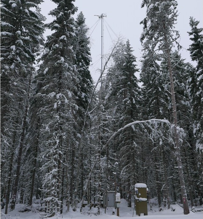
Coordinates: N61°10.973' E25°15.761' Altitude (m.a.s.l.): 142 Ecosystem type: Nutrient-rich (Herb-rich (Rhtkg II) and Vaccinium myrtillus (Mtkg II) site types) drained peatland mostly spruce forest
Observations
CO₂-flux (EC at 29 m since 08/2019) (N61°10.973' E25°15.761')
CO₂-flux (automatic chamber since 09/2019) (N61°10.966' E25°15.985')
CO₂, CH₄, and N₂O fluxes (Control) (automatic chamber since 09/2019) (N61°10.966' E25°15.985')
CO₂, CH₄, and N₂O fluxes (Harvest) (automatic chamber since 09/2020) (N61°10.966' E25°15.985')
Supporting environmental data: Air temperature + humidity, soil temperature, soil heat flux, soil moisture, PPFD, global radiation, albedo, precipitation
Climatology
Climate data point: FMISID (19 km, 2000-2019): 101154, WMO: 02767 Average temperature (°C): 4.8 Annual precipitation (mm): 644 Average snow depth at mid-March (cm): 27 Median period of snow cover: Dec 22 – April 6
Environment
Vegetation type: Dominant tree layer of mature Norway spruce (Picea abies) mixed with Scots pine (Pinus sylvestris) and pubescent birch (Betula pubescens) Mean vegetation height (m): - Max projected LAI: - Soil type: Peat layer > 1m, consisting of sedge (Carex) and wood dominated peat. Stand volume (m³ ha⁻¹): - Tree density (ha⁻¹): - Tree age (years): Varying, site has been drained before 1960s
7.7.2022