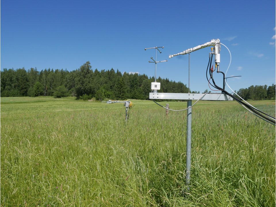
Qvidja (Parainen)

Coordinates: N60°17.720' E22°23.510' Altitude (m.a.s.l.): 7 Ecosystem type: Agricultural grassland on mineral soil Networks: Field Observatory Site
Observations
CO₂ flux (EC at 2.3 m since 05/2018)
Supporting environmental data: Air temperature & humidity, soil heat flux, soil temperature & moisture, wind speed and direction, PPFD, global radiation, albedo, precipitation
Climatology
Climate data point: FMISID: 100934, WMO: 02828 Average temperature (°C): 6.1 Annual precipitation (mm): 668 Average snow depth at mid-March (cm): 15 Median period of snow cover: Jan 7 – March 30
Environment
Vegetation type: Forage grass Mean vegetation height (m): 0.1–0.6 Max projected LAI: 4 Soil type: Clay loam Stand volume (m³ ha⁻¹): - Tree density (ha⁻¹): - Tree age (years): -
12.6.2023