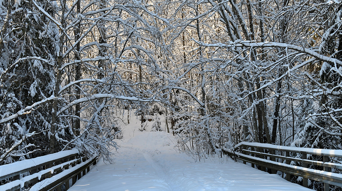
March was sunny, mild, with little precipitation

According to Finnish Meteorological Institute statistics, the average temperature for March varied between +2 degrees in the southwest archipelago to about -5 degrees in eastern and northernmost Finnish Lapland. In most parts of the country, the average temperatures in March were 1-3 degrees above the average of the 1991-2020 reference period.
An extensive high-pressure system that prevailed about midway through the month pushed temperatures significantly above the average for the time of the year. However, March ended on a chilly note; a low-pressure system accompanied by a storm on 26 March was followed by a surge of cold air to all of Northern Europe.
The high temperature for the month was 15.6 degrees, recorded on 20 March in Hyvinkää. The lowest temperature, meanwhile, was -30.6 degrees in Kevojärvi in Utsjoki on 28 March.
Little precipitation, plenty of snow on the ground
March was a month of unusually low precipitation in much of the country, with high pressure predominating for more than two weeks. Only Northern Lapland had a normal amount of precipitation. Precipitation was exceptionally low especially in the southwest of the country, setting new records in some parts.
The greatest amount of precipitation was 38.3 millimetres recorded at the Nuorgam observation station in Utsjoki. Fagerholm observation station in Parainen was driest, with just 1.2 millimetres of precipitation. The greatest amount of precipitation in a single day, 16.4 millimetres, was recorded at the Kilpisjärvi village centre in Enontekiö on 19 March.
Thanks to the predominant high pressure, the sun shone more than usual in much of the country except for Northern Lapland. In the south, the number of sunny hours was exceptionally high in some areas. The last time that March was sunnier in the area was in 2013.
Although March was warmer and sunnier than usual, the melting of snow was slow, owing to the low precipitation and low temperatures at night. At the end of the month, the snow cover was gone only at a few observation stations in the Åland Islands and the southwest. In other areas the depth of snow varied from a few centimetres to between 80 and 90 centimetres. In Kilpisjärvi there was still a metre of snow on the ground at the end of the month. In southern and central parts of the country, snow was generally 10-30 centimetres higher than usual, and there was an unusually high amount of snow in places. On the other hand, there was less snow than usual in Southern and Central Lapland.
In sea areas stormy conditions were observed on two days (the 25th and 26th)
Further information:
Weather statistics from Climate Service, tel. 0600 1 0601 (EUR 4,01/min + local charge)
Meteorologists use the word exceptional when referring to weather phenomena that occur on average no more than once in 30 years. A phenomenon is called rare if it occurs less frequently than once every ten years on average.
