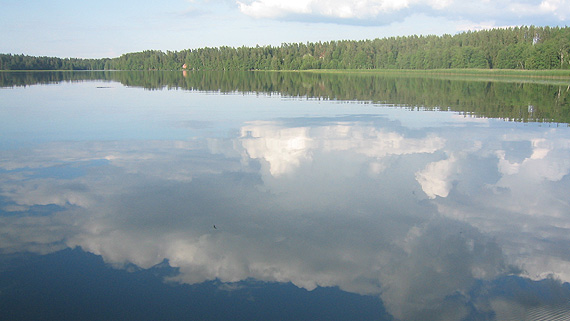
Summer showed its strength in August
 Kuva: Eija Vallinheimo
In Southern Finland, the average temperature was in places higher than 17°C, but in Eastern and Northern Lapland it remained below 13°C. The largest deviation from the long-term average was reported in Western and Northern Lapland, where temperatures were more than 2°C above normal levels. Across Western and Northern Lapland, the average temperature was unusually high, with an exceptionally high average in the most northern parts. In southern and central regions the temperature deviation remained small, just under 2°C.
The hot weather was caused by a blocking anticyclone, which formed over Finland in the middle of August and lasted until the end of the month. Whereas there had only been 4 hot days in June and July, August saw a total of 15 of them, which is 6 more than the average. The month's highest temperature, 27.8°C , was recorded in the Turku district of Artukainen on 25 August. Alongside the warm days, the high pressure also brought a number of particularly cold nights, with the coldest bringing frosts in places even in southern parts. The month's lowest temperature, -1.1°C , was recorded in the Kittilä district of Lompolonvuoma on 16 August.
Precipitation lower than normal
The month's precipitation levels were below average across nearly the whole country. The totals came to under 40mm in southern regions and under 20mm in Pirkanmaa and parts of the western coastline, meaning that in certain areas precipitation levels remained at only a third of normal levels. The highest levels, which reached over 70mm, were recorded in North Karelia, Kainuu, Koillismaa and parts of Southern Lapland, where in certain areas total rainfall even exceeded average levels.
The observation station in Aapajärvi, Tornio, saw the highest rainfall, reaching a total of 97.5mm. The lowest rainfall, 10.1 mm, was recorded in Jomala, Åland. The heaviest rainfall came at the end of the month, with the highest precipitation over a 24-hr period, 48.0mm, being recorded at the Kemijärvi airport on 28 August.
August this summer's hottest month
Because of the unusually cold June and July, the average temperature for the summer period (Jun-Aug) remained below normal across Finland, the only exception being the south-western archipelago. The deviation from the long-term average was small, however, remaining below 1°C across the whole country. In terms of the nationwide average, the last time a colder summer was recorded was in 2008, although Central and Northern Lapland saw a colder summer as recently as 2012. The warmest summer month was, unusually, August. This last occurred in 2006. The month's highest temperature, 31.4°C, was reported in Utti, Kouvola, on 3 July.
Precipitation levels for the summer varied widely in different parts of the country. The highest levels were recorded in Kainuu, Koillismaa and south-eastern parts of Southern Lapland, where the totals reached nearly 300mm, which in places was 50% higher than normal levels. The lowest precipitation levels were recorded in Åland, along the Pohjanmaa coastline, in North-West Lapland and in the area stretching from South-East Finland to Pirkanmaa. In these areas total rainfall remained in places below 150mm, significantly lower than the average. The highest total rainfall for the summer, 407.3 mm, was recorded in the observation station in Kotila, Puolanka. The lowest recorded was in Näkkälä, Enontekiö, at just 118mm.
Record low thunderstorm levels
The amount of thunder recorded in Finland this summer currently stands as the lowest ever. By the end of August, only 25 000 lightning strikes had been recorded, which is less than a fifth of the average amount. During the period 1960–2014, the lowest number of lightning strikes was in 1996, when 39 000 were recorded. Although there may still be significant occurrences of thunder in September, it can be reasonably assumed that this year will have seen the lowest amount of thunder since records began. The low levels of thunder have resulted from the unfavourable conditions that have prevailed: a cool start to the summer and a late summer dominated by high pressure.
Further information
Weather statistics from the Climate Service Centre, tel. 0600 1 0601 (€4,01/min + local charges)Weather forecasts from the meteorologist on duty 24 h/day tel. 0600 1 0600 (€4,01/min + local charges)