
February had snowstorms and föhn winds
 Kuva: Antonin Halas
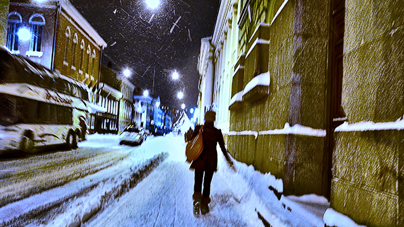
During the first half of the month, Finland was under the influence of a high-pressure area, and the weather was mostly fair and occasionally very cold. Especially between 6 and 9 February, there were severe freezing temperatures in the most parts of the country. The lowest temperature in the month, -32.8 degrees, however, was not measured until 26 February in Sodankylä.
Föhn and hurricane force winds
In mid-February high pressure gave up, and a west-north-westerly current increased in the whole country, causing a dry and warm föhn wind to come over the Scandes. In the most parts of the country, the weather was sunny and unusually warm regarding the time of the year. In Porvoo, the temperature rose to +8.2 degrees on Valentine's Day, 14 February, which also was the month's highest temperature in the whole country. In connection with the same weather situation, there were storm-force gusts especially in Central and Northern Lapland on 13 February, and in a fjeld (Muonio Laukukero), the average wind speed was measured to be exceptional 41.6 m/s, which are hurricane force winds. There were storm winds at sea only on 22 February, more precisely at south-westerly sea areas.
The unsettled weather in late February compensated the drier weather type of the first half of the month, and so the month's total amount of precipitation was, on average, close to usual. In south-westerly provinces, in Koillismaa, and in Southern Lapland, the total rainfall, however, was lower than usual, and in parts of Southern Lapland it was exceptionally low. In February, it rained the most in Kuhmo, 58.3 mm, and the least in Ranua, 8.3 mm. The highest rainfalls per day were measured on 22 and 23 February, when a strong low pressure from the west arrived to the southern and central parts of the country. In some parts of Uusimaa, the snowfall was as much as 20 cm with a strong wind.
Winter's precipitation levels were low
The precipitation levels were low in winter, i.e. between December and February. The total amount of precipitation in the winter months was lower than usual in almost whole of the country. In western parts of the country it was largely unusually low, in places also exceptionally low. In Pirkanmaa and Satakunta areas the winter's rain precipitation even was the lowest ever recorded at some observation stations. It is noteworthy that also last autumn was largely unusually dry in the western part of the country.
Only in Northern Lapland the precipitation this winter was slightly higher than usual, and locally in Kilpisjärvi it even was unusually high. In Kilpisjärvi, the total amount of precipitation between December and February was 243.2 mm, which is the winter's highest in the whole country. The winter's lowest precipitation, 34.4 mm, was instead measured in Köyliö, South-Western Finland.
The average temperature in the winter months was 2 to 3 degrees higher than usual in the whole country. The regional deviation in average temperatures was fairly small. The greatest deviation from the usual, +3.9 degrees, was observed in Kilpisjärvi.